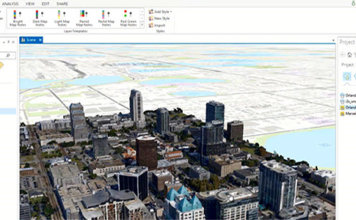
Transform Aerial Photographs Into Realistic 3D City Models for Use in ArcGIS
 Computer vision and photogrammetry technology have advanced to a point which enables the creation of 3D city models that are kilometres in size with centimetre accuracy. With ContextCapture, you'll see how terabytes of photos can be converted into realistic 3D models and then consumed in Esri's ArcGIS Pro and ArcGIS Online. With its flexibility, scalability, ["]