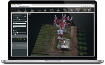
Optelos introduces PointCloud Visualizer™ The easiest way to view and deliver your Point Cloud data models
 Optelos announces the PointCloud Visualizera, which revolutionizes the drone industry by enabling drone operators to easily upload data to the cloud and then create data models, which can be viewed and shared with clients and stakeholders. Pix4D, DroneDeploy, and other drone mapping software are excellent solutions for processing and generating detailed data models. The challenge, ["]