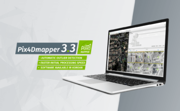
Pix4Dmapper version 3.3 released
 Pix4D's rayCloud is an iconic interface which connects 2D original images to the 3D reconstructed point cloud. In rayCloud, you can easily add and edit your GCPs/MTPs to improve your project accuracy, without having to go image by image for searching where the points locate. You can simply click on an approximate location in the ["]