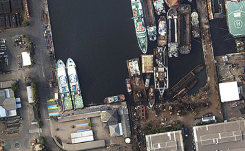
Considerations for UAV photogrametry in geospatial projects.
 Every geospatial project starts with a well-defined scope. Within that scope there is inevitably a plan for how the data to be analyzed will first be collected. Data may be pulled from existing sources or it may need to be acquired from new. And every new data collection project calls for the right mapping technology. ["]