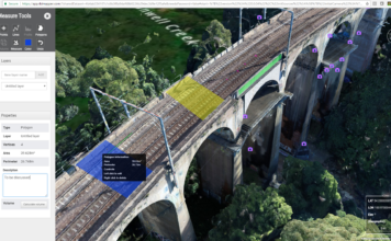
Introducing Verity Mapper, Turning any Drone into an Accurate Mapping System
 Creating reliable, accurate mapping and inspection products from UAVs has it's challenges with many pain points on the path to efficiently achieving highly accurate and accessible mapping outcomes. Verity Mapper leverages it's hardware, methodology, software and the cloud to create a flexible end-to-end solution, increasing accuracy, economy and efficiency. Verity Positioning, a powerful PPK geo-referencing ["]