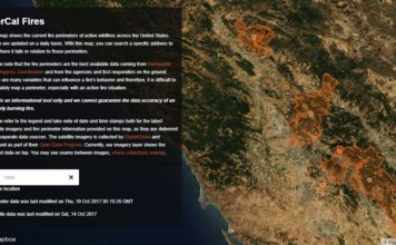
Mapbox Releases New Map to Track Fires in Northern California and Across the U.S
 Mapbox has published a new map to give people affected by the wildfires in Northern California and across the U.S. access to the most up to date information on fire perimeters in relation to specific locations and addresses. Using the best available data coming from Geospatial Multi-Agency Coordination and from the agencies and first responders on the ground, ["]