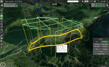
Announcing release of UgCS v.2.12 and UgCS for DJI v.2.8 update
 SPH Engineering announces the release of the UgCS and its mobile companion's UgCS for DJI update perfecting user experience and features for professional UAV survey mission planning. Along with the update, the UgCS Mapper (beta) is made available - a geo-referenced image processing desktop software, to create preliminary orthophoto map in-field, requiring no internet connection. ["]