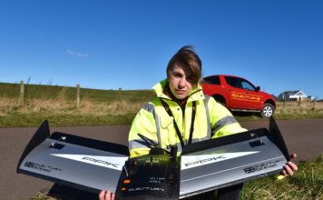
QuestUAV Survey Ilkley Moor Using Fixed Wing Drone
 RGB Land Survey of Ilkley Moor using 8000+ Images to create 650-hectare point cloud and orthoimage QuestUAV Ltd was commissioned jointly by Friends of Ilkley Moor and Bradford Council Countryside Service to undertake an orthographic survey of the Ilkley Moors in the UK. The area of the Moor was an approximately 650-hectare survey and QuestUAV ["]