Drone’s eye-view of Sam Lawrence Park
by from on (#4K785)
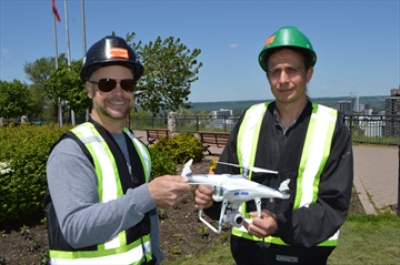
If you thought, you saw a drone hovering over Sam Lawrence Park one morning last April you were right."We're using drones to get an accurate topography map, right down to one or two centimetres of accuracy of the entire park," said Eric Papky, co