A Colorful Interactive Map That Shows Every Neighborhood Within New York City’s Five Boroughs
by Lori Dorn from Laughing Squid on (#4ZZA2)
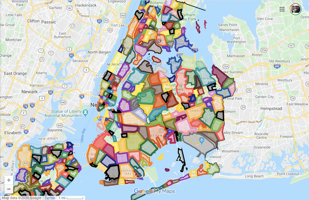

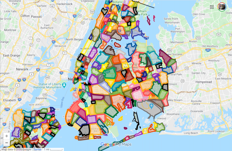
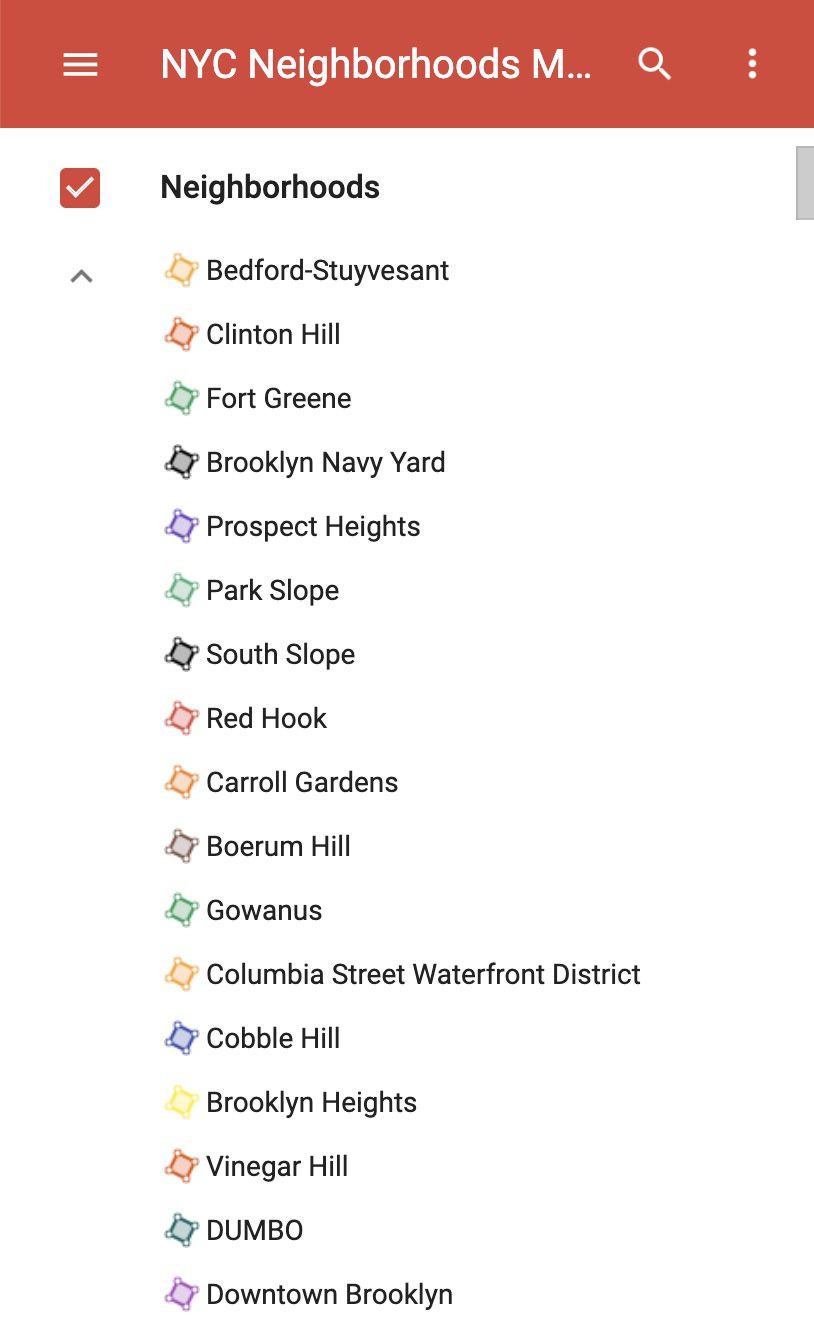
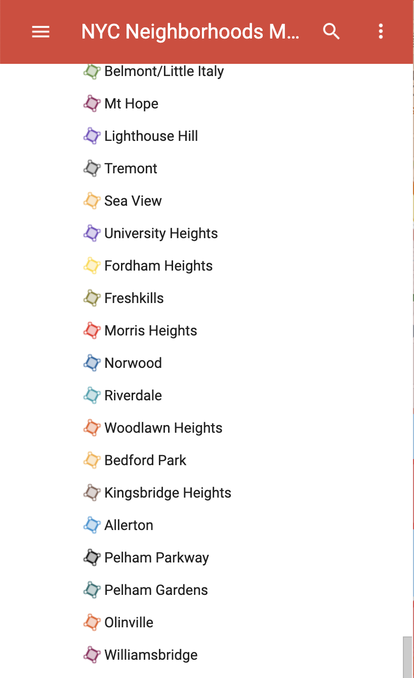
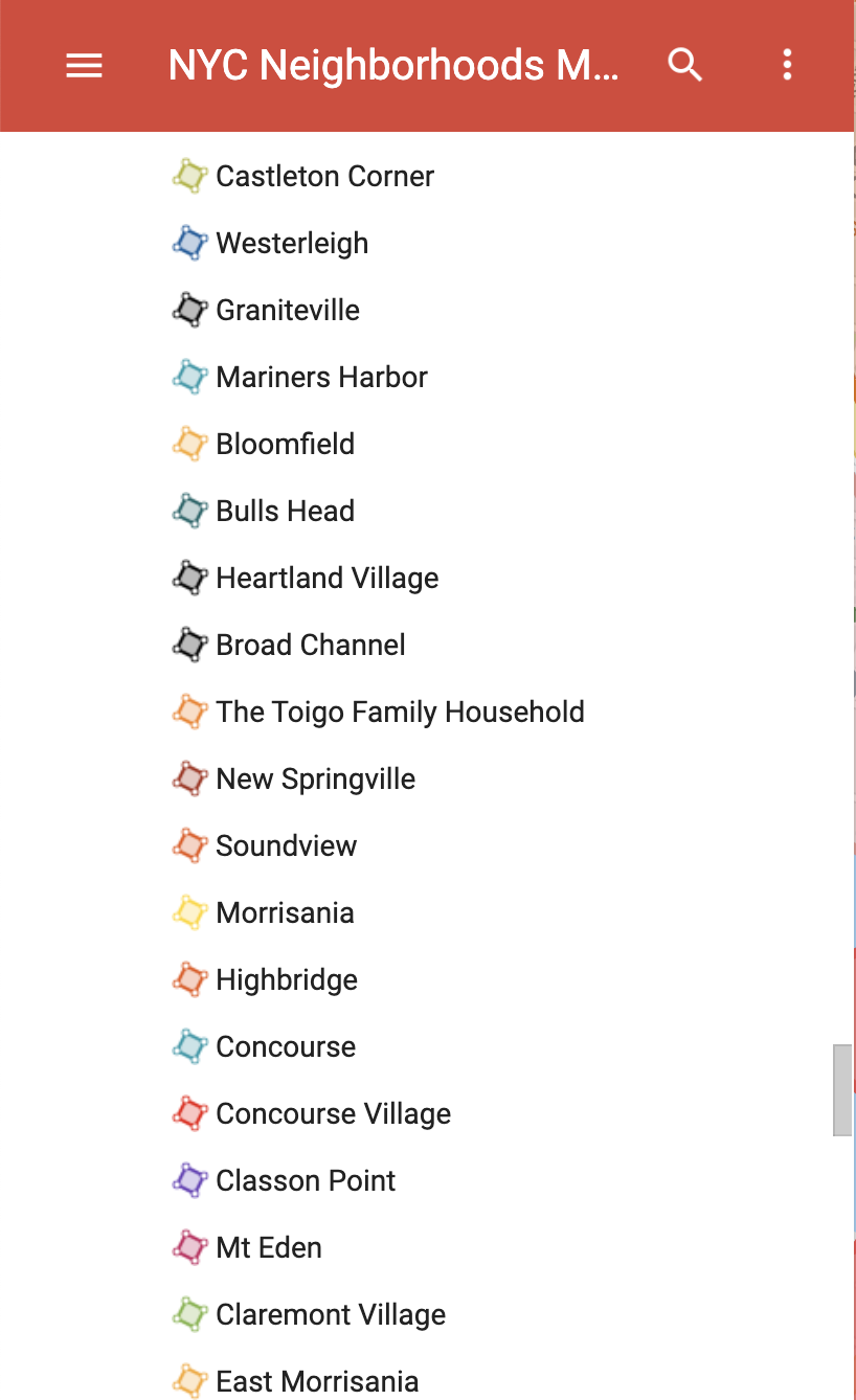
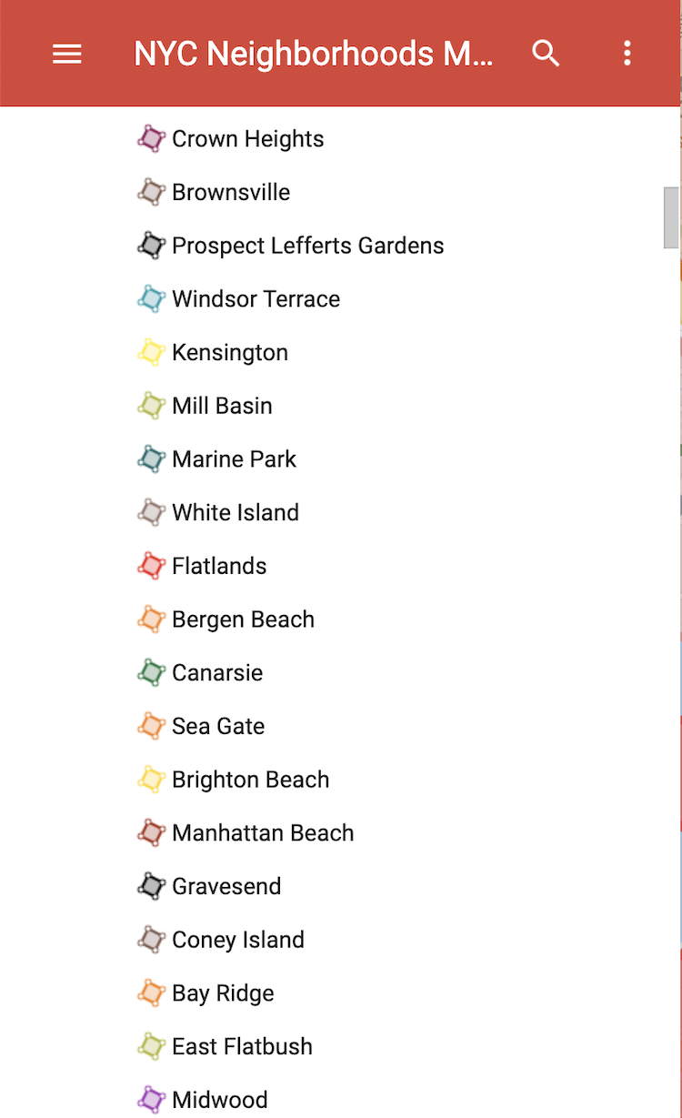
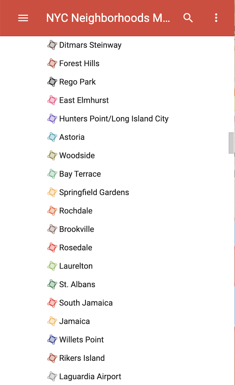
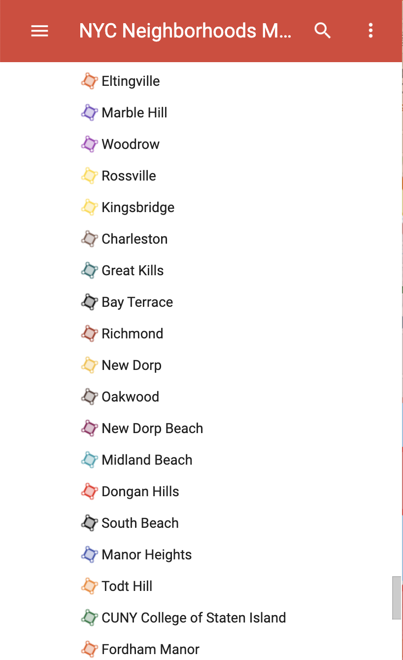
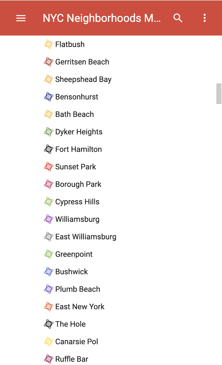
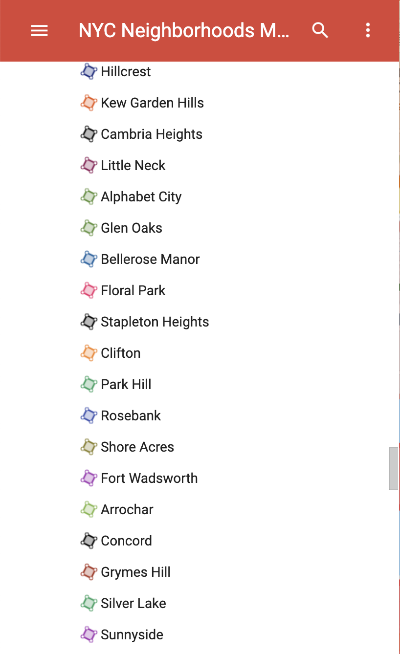
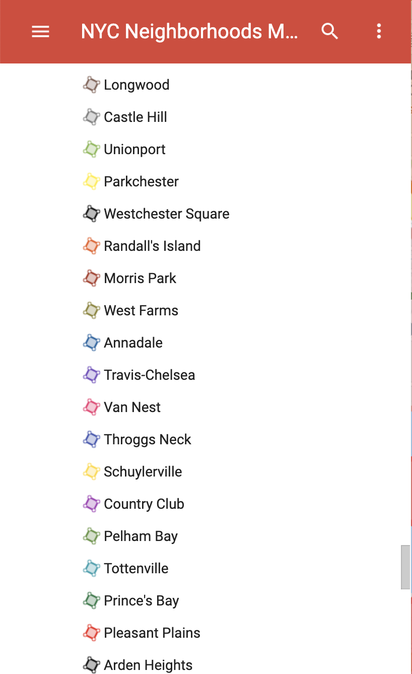
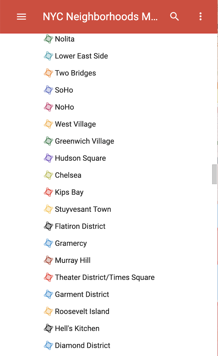
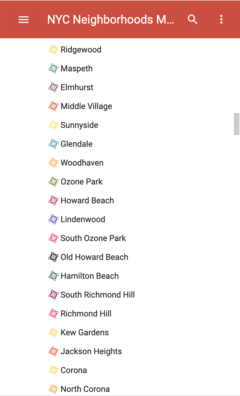
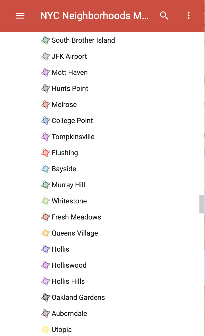
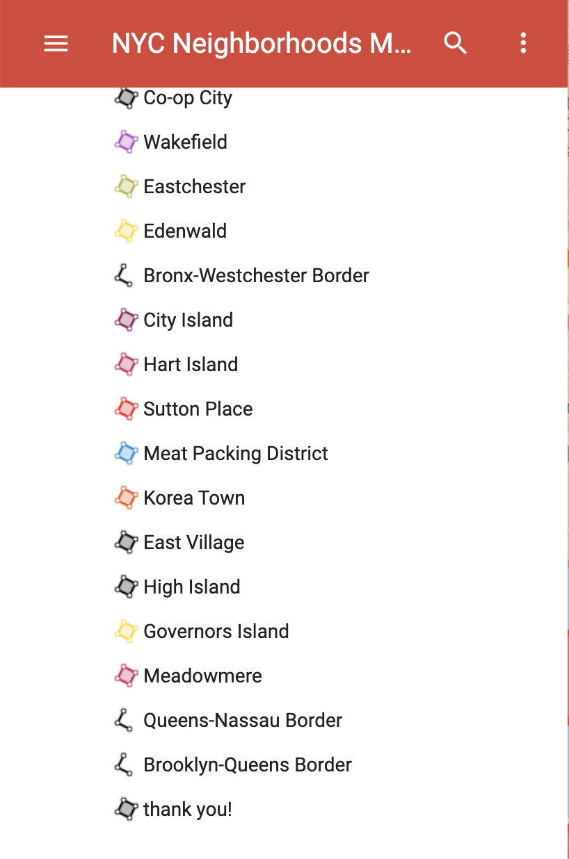
bigchunguslolfunny took on the daunting task of creating a color-coded interactive map that names each and every neighborhood within the Bronx, Brooklyn, Queens, Manhattan and Staten Island - the five boroughs of New York City. While the artist and others involved were confident in the job they did, they were more than happy to make any edits necessary.
Related Laughing Squid PostsAn Interactive Map That Shows All the Public Trees in Each Neighborhood of New York City's Five BoroughsA Manhattan Subway Map Based on Judgmental Generalizations About New York City NeighborhoodsAn Animated Map Showing Urban Growth in the Five Boroughs of New York City From 1609 to 201980s.NYC, An Online Collection of Street View Photos Taken in All Five Boroughs During the 1980sA Beautiful Map Showing the Wide Array of Languages Spoken Throughout the Five Boroughs of New York CitySubway Deserts, A New York City Map Visualizing Areas That Are Poorly Serviced by SubwaysALL 5 boroughs- we worked really hard on getting the exact borders. What do you guys think? If you live in any of these places and the borders are wrong, let us know.
Follow Laughing Squid on Facebook, Twitter, and Subscribe by Email.
The post A Colorful Interactive Map That Shows Every Neighborhood Within New York City's Five Boroughs first appeared on Laughing Squid.
