QuestUAV’s All-Round Package for Precision Agriculture Mapping
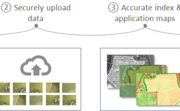
 Simple Mapping Workflow - Quality Data - Better Decisions Aerial images captured by a drone are a great asset for growers and agronomists. They can monitor the health and vigour and track change over time. When equipped with the MicaSense RedEdge camera, the Q-100 DATAhawkAg captures images in five discrete spectral bands, designed to detect ["]