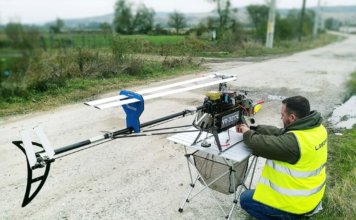
Laserpas Drone finds powerlines missing from the map
 Laserpas, an international Remotely Piloted Airborne System (RPAS) operator, has announced the completion of its first project in Romania. The company's unmanned system was used to survey 308 kilometres of power lines. The project team discovered 50 kilometres of undocumented lines and other inaccuracies in data, as well as various security threats. Working for ["]