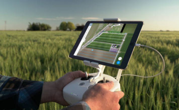
DroneDeploy Announces Fieldscanner, Instant Drone Mapping for Agriculture
 DroneDeploy, the leading cloud software platform for commercial drones today announced the beta release of its new Fieldscanner product offering real-time drone mapping, just in time for the spring growing season. With Fieldscanner, available as part of DroneDeploy's iOS app, farmers can use any DJI drone to create a map of their fields as the ["]