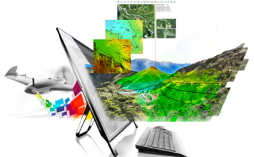
PIX4D @sUSBExpo Mobile to Maps: Integrating Drones into your Practice
 Pix4D is the main provider and industry standard for professional drone photogrammetry software. Pix4D is a dynamic and rapidly expanding company with headquarters in Lausanne and local offices in San Francisco and Shanghai. Pix4D is the only solution providing desktop, cloud, and mobile solution for drone mapping. You can find many professionals describing their use ["]