PrecisionHawk Launches Free PrecisionMapper Software for Drone Mapping
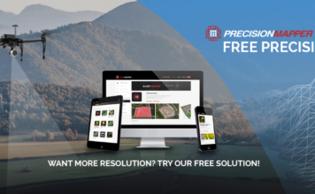 Now drone operators can stitch an unlimited number of photos, create maps without resolution limits and run algorithms to analyze their data for free PrecisionHawk, a leading commercial drone and data company, has opened access to its professional mapping and analytics software, PrecisionMapper, for free. By eliminating the cost barrier, operators have the flexibility to 'bring ["]