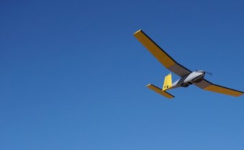
Strix Imaging successfully maps largest area ever attempted by commercial drone in the U.S.
 In August 2017, northern Nevada-based Strix Imaging used drone technology to map an 18,000-acre mine exploration site, south of Elko, for Contact Gold LLC - about 28 square miles - in the largest commercial drone mapping project ever completed in the United States. Strix provided Contact Gold with topographic products at 6-inch accuracy over the ["]