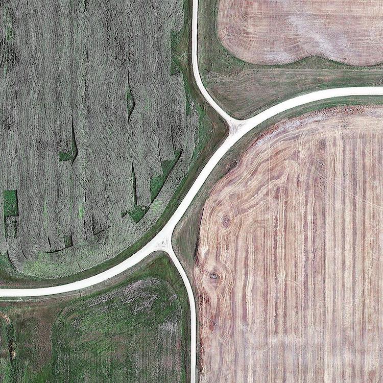
A Fascinating Timelapse That Corrects the Thomas Jefferson Grid to the Spherical Shape of Earth

During the late 18th century, United States founding father Thomas Jefferson established the fledgling country's first public land survey to ensure that land would be divided and sold to "yeoman farmers" fairly. To do this Jefferson created a grid known as the Rectangular Survey System, which parceled out land in accordance with the Land Ordinance of 1785.
What Jefferson may not have realized in originally calculating this grid, was how the curvature of the Earth would change these measurements. Dutch visual artist, photographer and filmmaker Gerco de Ruijter has created the short hyperlapse film entitled "Grid Corrections", which visually analyzes the same grid but with the spherical shape of Earth in mind. Using a combination of kite photography, panoramic shots and Google Maps, de Ruijter was able to calculate that the grid deviates every 24 miles.
This film was made mining the Thomas Jefferson's Grid in Google Earth. By superimposing a rectangular grid on the earth surface, a grid built from exact square miles, the spherical deviations have to be fixed. After all, the grid has only two dimensions. The north-south boundaries in the grid are on the lines of longitude, which converge to the north. The roads that follow these boundaries must dogleg every twenty-four miles to counter the diminishing distances: Grid Corrections
via Aeon