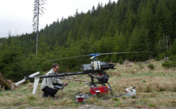
Biomass calculation using a helicopter drone equipped with a laser scanner
 Drones have become ubiquitous the application of photogrammetry and 3D surveying in the last few years. Measurements from these systems have generated 3D models of buildings, landscapes, power lines and many other features. This project takes it one step further by generating extremely high-density point clouds and digital photos using the Scout B1-100 helicopter drone ["]