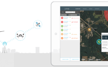
PrecisionHawk Chosen as DJI’s New Provider of Airspace Data in North America
 PrecisionHawk's Low Altitude Traffic and Airspace Safety (LATAS) platform to replace AirMap PrecisionHawk, Inc. today announced a partnership with DJI, the world's leader in civilian drones and aerial imaging technology, to improve its geofencing technology. Leveraging PrecisionHawk's Low Altitude Traffic and Airspace Safety (LATAS) platform, DJI will be able to refine airspace limitations for drone flights near ["]