British nautical maps from 1800s help track B.C.’s kelp beds
by from on (#4A9M1)
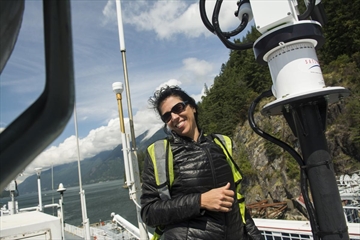
Kelp beds off the coast of B.C., were mapped by the British Navy to help sailors avoid them. Those old maps are being compared to today's beds to see where they are and if there are more or less.