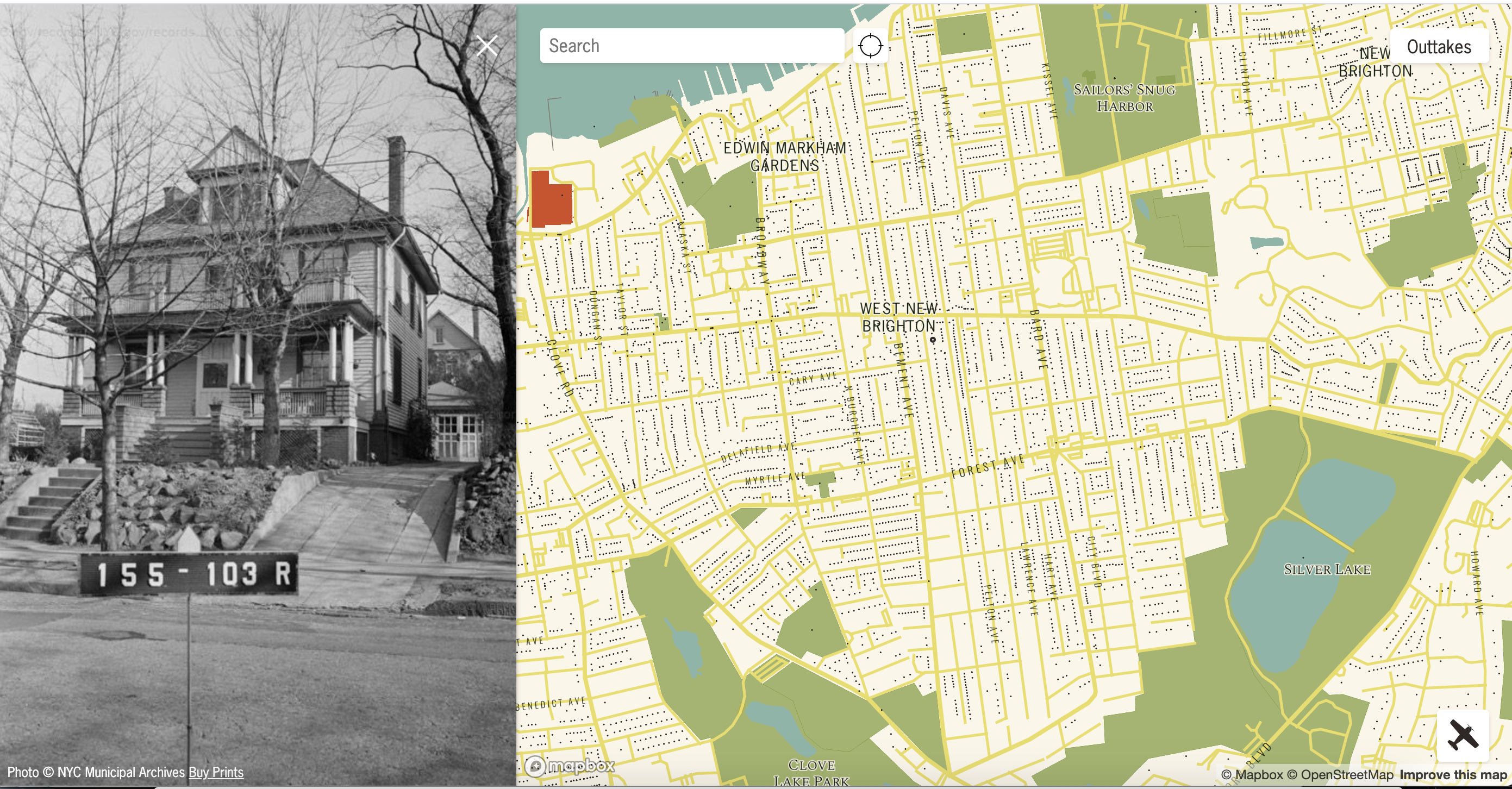
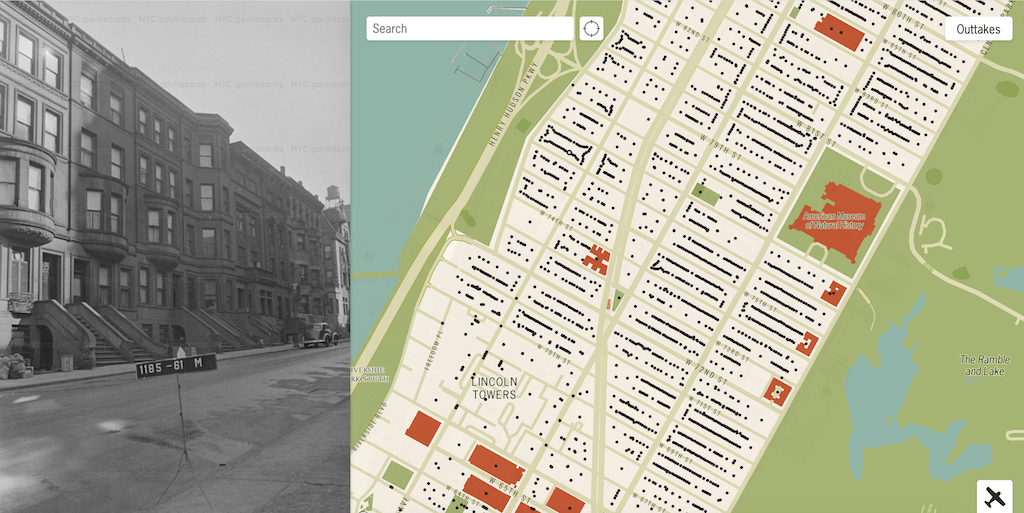
A Wonderful Interactive Map Featuring Photos of Every Building in New York City Taken Between 1939-1941
by Lori Dorn from Laughing Squid on (#56XW9)
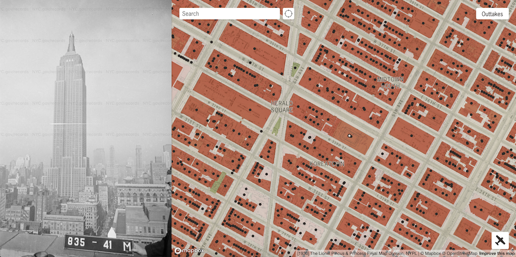
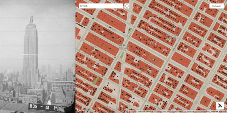
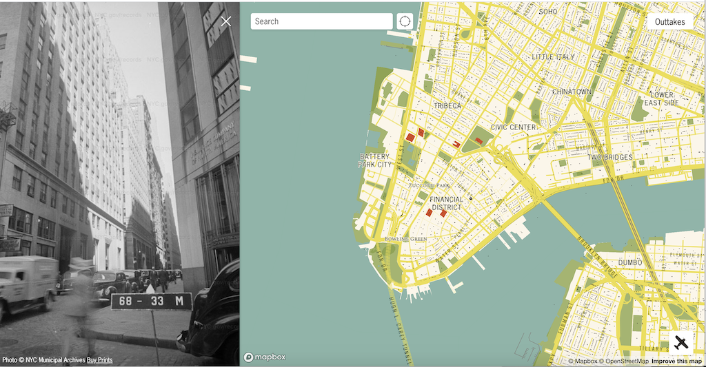
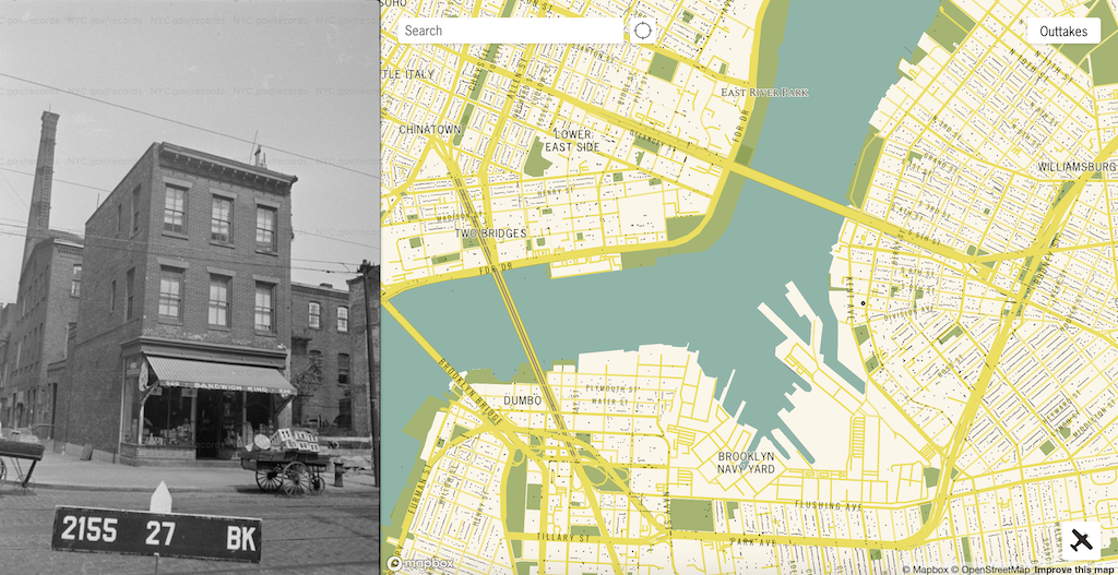
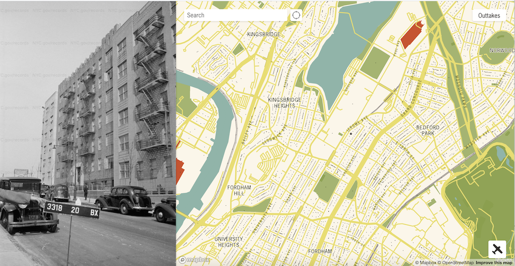
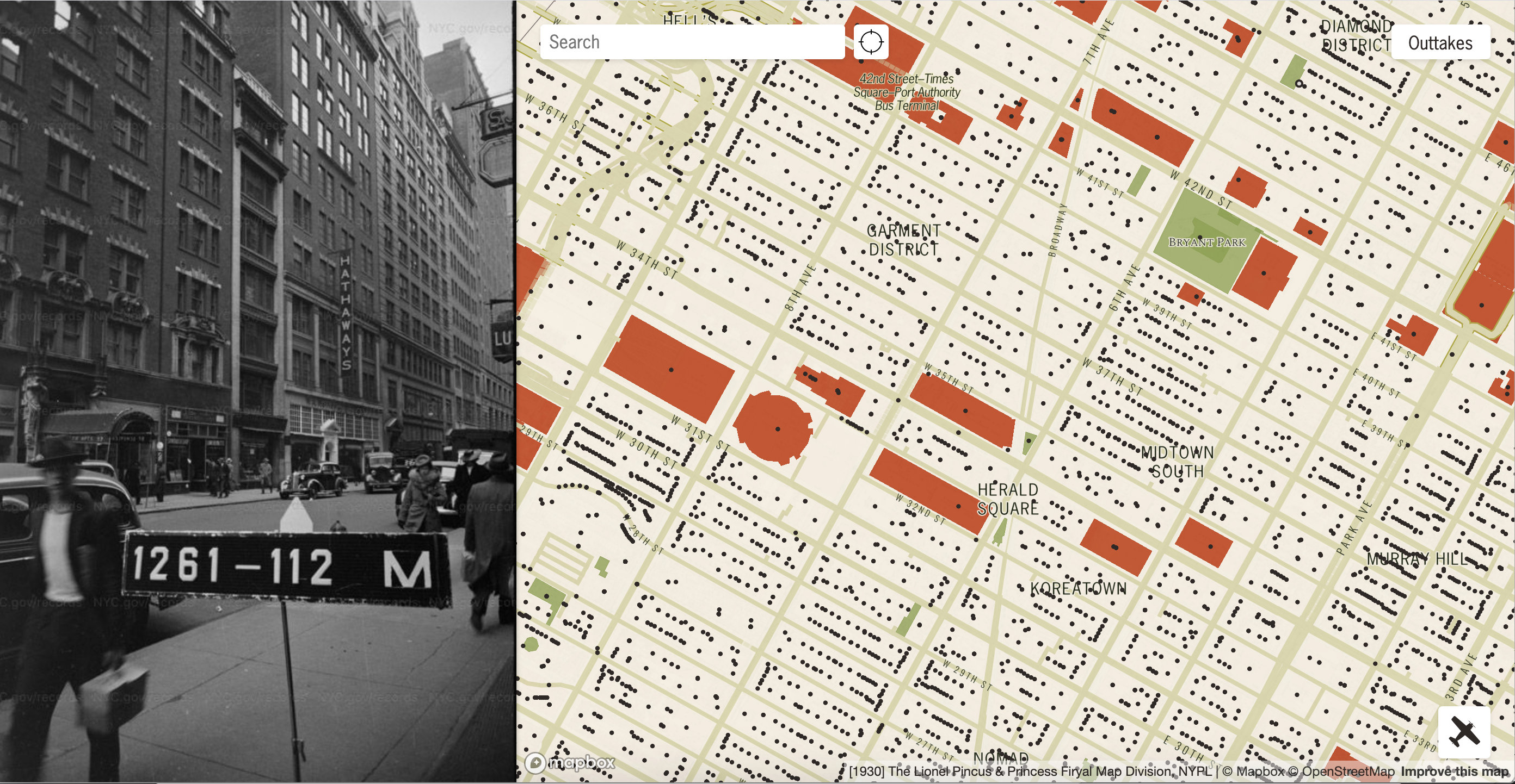
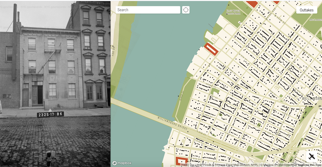
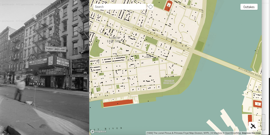
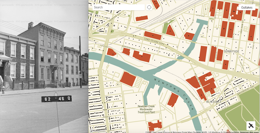
Proud New Yorker Julian Boilen has put together a wonderful interactive map that displays photographs of every building within the five boroughs of New York City that were taken between the years 1939 and 1941 by the Works Progress Administration and the New York City Tax Department.
The physical photo collection is housed at the New York City Municipal Archives.
In 2018, the NYC Municipal Archives completed the digitization and tagging of these photos. This website places them on a map.
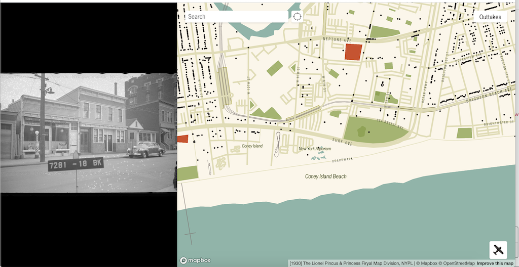
Coney Island, Brooklyn
via Paul Stamatiou
Related Posts80s.NYC, An Online Collection of Street View Photos Taken in All Five Boroughs During the 1980sA Colorful Interactive Map That Shows Every Neighborhood Within New York City's Five BoroughsNew York City Launches Program to Provide Free Wi-Fi at Pay PhonesNYC Department of Records Releases 870,000 Historical Photos OnlineCoffee in New York City Keeps Getting BetterAn Interactive Map That Shows All the Public Trees in Each Neighborhood of New York City's Five BoroughsFollow Laughing Squid on Facebook, Twitter, and Subscribe by Email.
The post A Wonderful Interactive Map Featuring Photos of Every Building in New York City Taken Between 1939-1941 first appeared on Laughing Squid.
