A Historic Map of UFO Sightings in the United States
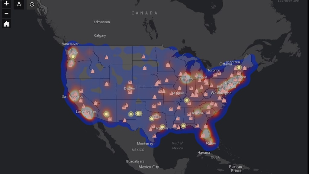
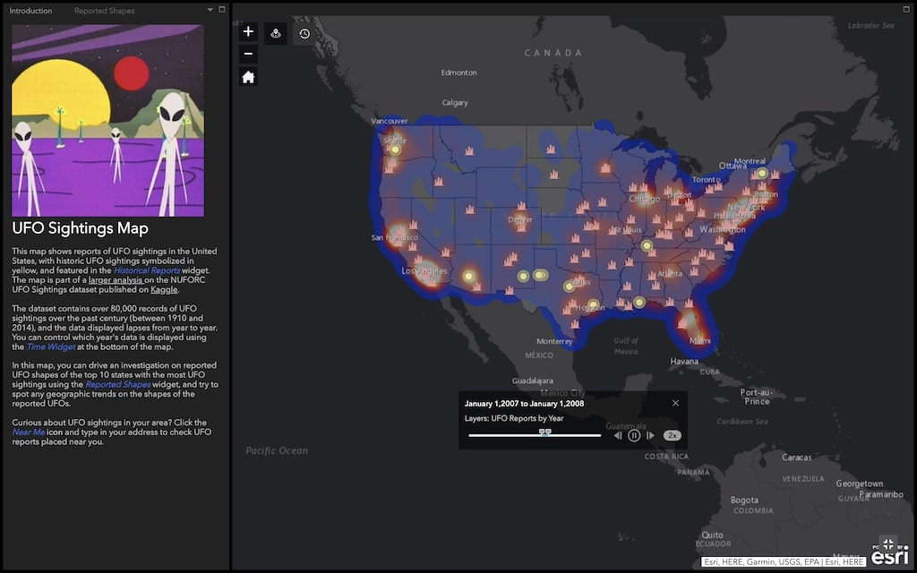
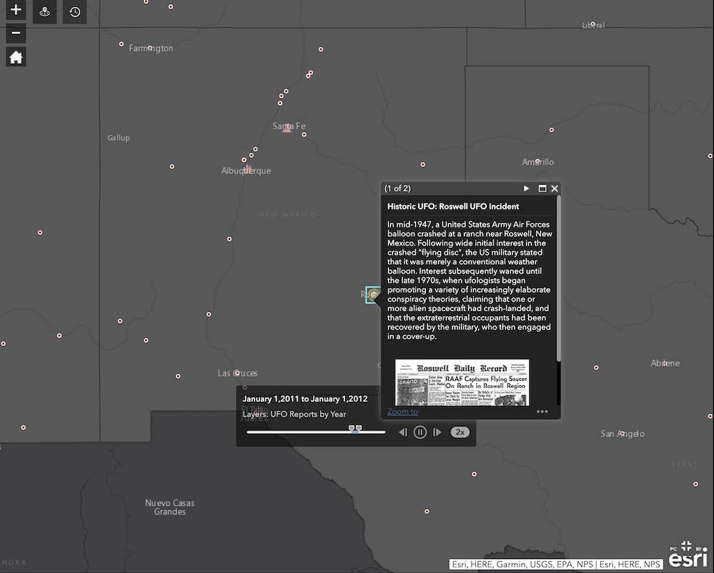
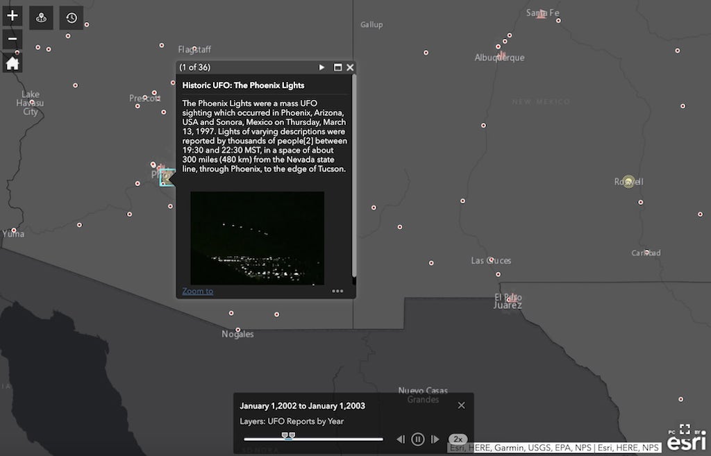
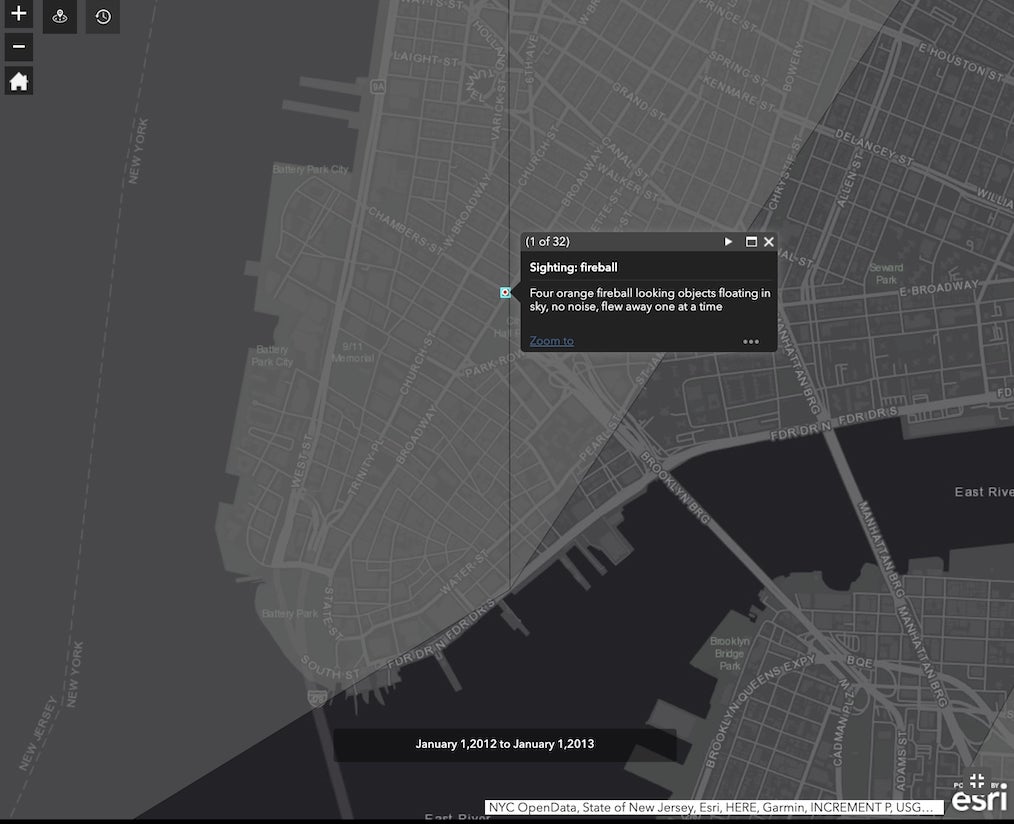
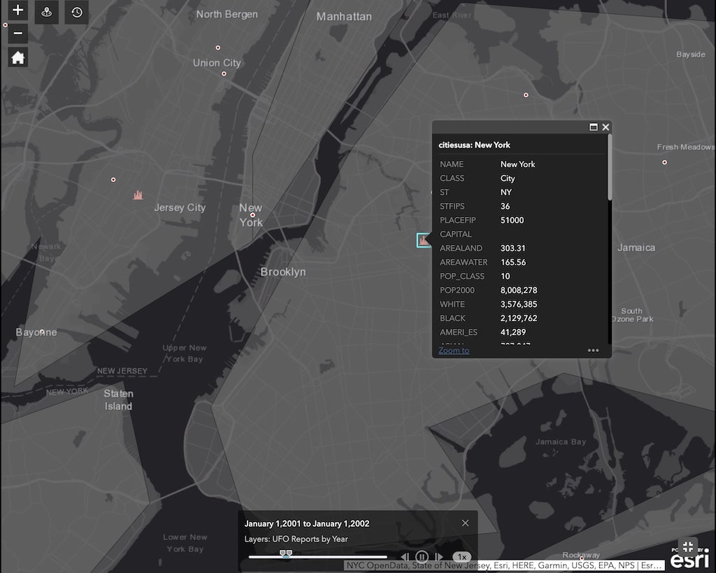
The UFO Sightings Map is a highly informative, interactive map that plots information about the numerous UFO sightings across the United States throughout the years. Drawing from data collected from data scientist Hakeem Frank, the map includes a Time Widget" that allows for chronological customization. Additionally, users can tap into a specific area to learn more about a specific sighting.
This map shows reports of UFO sightings in the United States, with historic UFO sightings symbolized in yellow, and featured in the Historical Reports widget. The dataset contains over 80,000 records of UFO sightings over the past century (between 1910 and 2014), and the data displayed lapses from year to year. Y
via Boing Boing
Related PostsThe History Behind America's Current Creepy Clown CrazeAn Interactive U.S. Map That Visualizes the Popularity of Baby Names from the Early 1900s to the PresentAdd Google Maps to Websites With New Embed FeatureInteractive Map Visualizes Mentions of Place Names by American TV NewsBitly Real-Time Media Map Tracks Popularity of 40 Media SitesUnited Airlines Employees Report UFO at Chicago's O'HareFollow Laughing Squid on Facebook, Twitter, and Subscribe by Email.
The post A Historic Map of UFO Sightings in the United States first appeared on Laughing Squid.
