A new Eastside bike map just dropped
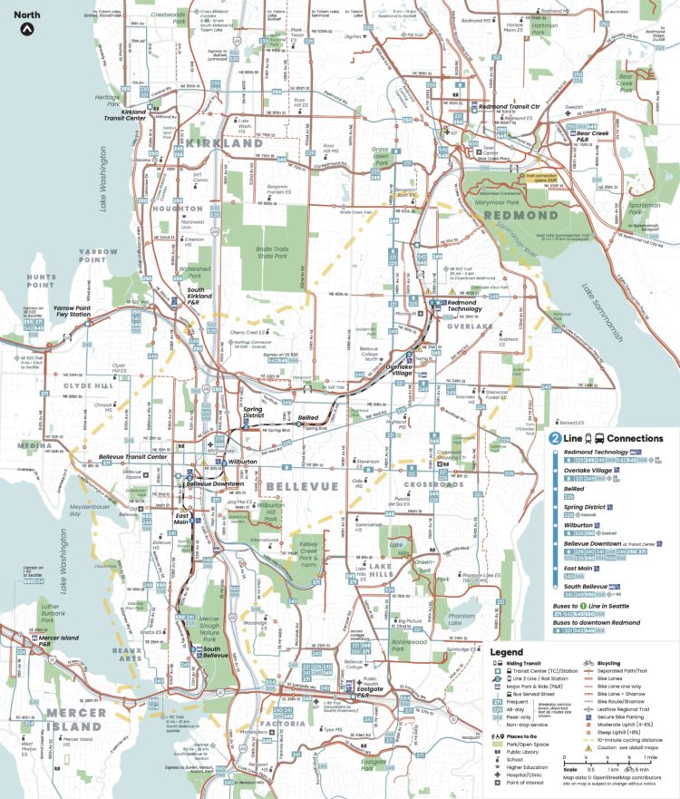
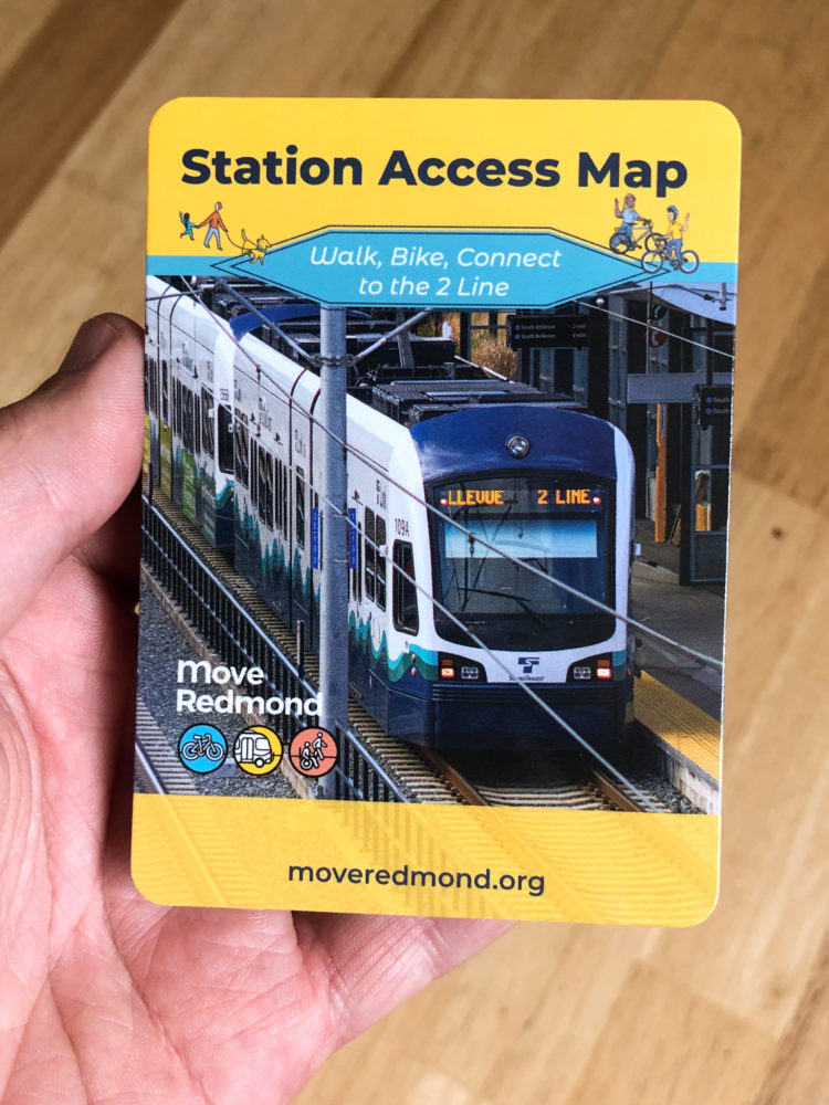
 The Move Redmond Station Access Map's bike and transit overview (PDF). Online version and other views are available on the Move Redmond website. Physical copies will be available at various community events like the 2 Line opening celebration and the Move Redmond open streets festivals June 22 and August 17.
It has been a long time since King County stopped maintaining a bike map. Seattle releases their updated map every year, but it ends at the city limits. But folks biking on the Eastside are mostly left to cobble together route info from wherever they can find it.
That's why I have been very excited about Move Redmond's new map. Full disclosure: My spouse Kelli is the Executive Director of Move Redmond, so I've been watching them develop their new Station Access Map for a while now. They created it as a way to help people figure out the walking, biking and transit options available to get them to and from the 2 Line light rail stations that are set to open Saturday (April 27). But in the process, they also created a unified Redmond, Kirkland and Bellevue bike map for the first time in a decade.
The design of this thing is excellent. It was crafted by Oran Viriyincy, a very talented mapmaker who previously designed the also excellent Seattle Transit Map. Oran has somehow managed to clearly communicate a lot of information without making the map appear overwhelming or confusing. You can find all the current bike routes, trails and bus lines in addition to the new light rail lines. But if you keep looking, there even more to unpack. For example, there's a faint yellow dashed outline showing all areas within a 10 minute bike ride of a 2 Line station.
Though the utility of the 2 Line won't be fully unlocked until it crosses Lake Washington, this is a big moment for the Eastside. Ever since suburban development began, cars have been the default way of getting around the area for a lot of residents, workers and visitors. Transit, walking and biking have been gradually becoming more and more important as Eastside communities get denser, setting up what could be a watershed moment when light rail service begins. This is a chance for people to redraw their mental maps of the Eastside based not on the locations of freeways and off-ramps but on the pathways to transit stations. This is a chance for people to invent entirely new transportation options for themselves. That bus route that used to take too long to get you where you need to go may now get you to light rail. That long and intimidating bike ride to Bellevue Transit Center may now be a shorter and easier bike ride to a 2 Line station with secure bike parking (also marked on the map). Or maybe you can just bike the whole way after all now that you can see where the bike lanes are.
When you transform your mental map of your community into an array of different transportation options, driving into the same traffic jam day after day sure seems limiting and dull. The most important maps in King County are the nearly 2.3 million maps inside residents' heads, and the 2 Line is a major opportunity for people to redraw their own understandings of how to get around this place where they live, work and play.
