LiDAR & Drone Aerial Survey for Site Development – eSwatini
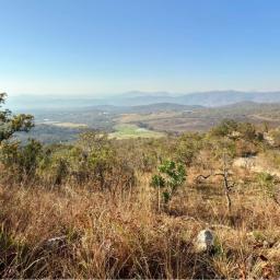 3DroneMappingcompleted a high-accuracy aerial survey and drone mapping projectfor the Canaan Projectnear Manzini, eSwatini, on3DroneMappingcompleted a high-accuracy aerial survey and drone mapping projectfor the Canaan Projectnear Manzini, eSwatini, on
| Source | RSS or Atom Feed |
| Feed Location | http://www.suasnews.com/feed |
| Feed Title | sUAS News |
| Feed Link | https://www.suasnews.com/ |
| Reply | 0 comments |