GPS is going places

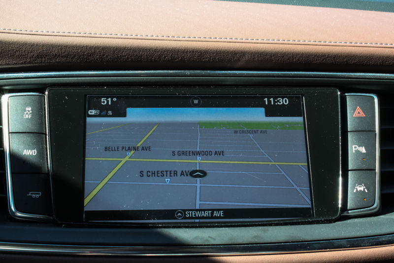
Enlarge / The regular GPS of a Buick Enclave. The buttons around the display, from top right: hazard, park assist view, lane-keep assist, towing, AWD activation, and traction control. (credit: Eric Bangeman)
You might think you're an expert at navigating through city traffic, smartphone at your side. You might even hike with a GPS device to find your way through the backcountry. But you'd probably still be surprised at all the things that GPS-the global positioning system that underlies all of modern navigation-can do.
GPS consists of a constellation of satellites that send signals to Earth's surface. A basic GPS receiver, like the one in your smartphone, determines where you are-to within about 1 to 10 meters-by measuring the arrival time of signals from four or more satellites. With fancier (and more expensive) GPS receivers, scientists can pinpoint their locations down to centimeters or even millimeters. Using that fine-grained information, along with new ways to analyze the signals, researchers are discovering that GPS can tell them far more about the planet than they originally thought it could.
Over the last decade, faster and more accurate GPS devices have allowed scientists to illuminate how the ground moves during big earthquakes. GPS has led to better warning systems for natural disasters such as flash floods and volcanic eruptions. And researchers have even MacGyvered some GPS receivers into acting as snow sensors, tide gauges and other unexpected tools for measuring Earth.
Read 31 remaining paragraphs | Comments