At times during Harvey, the European model outperformed humans

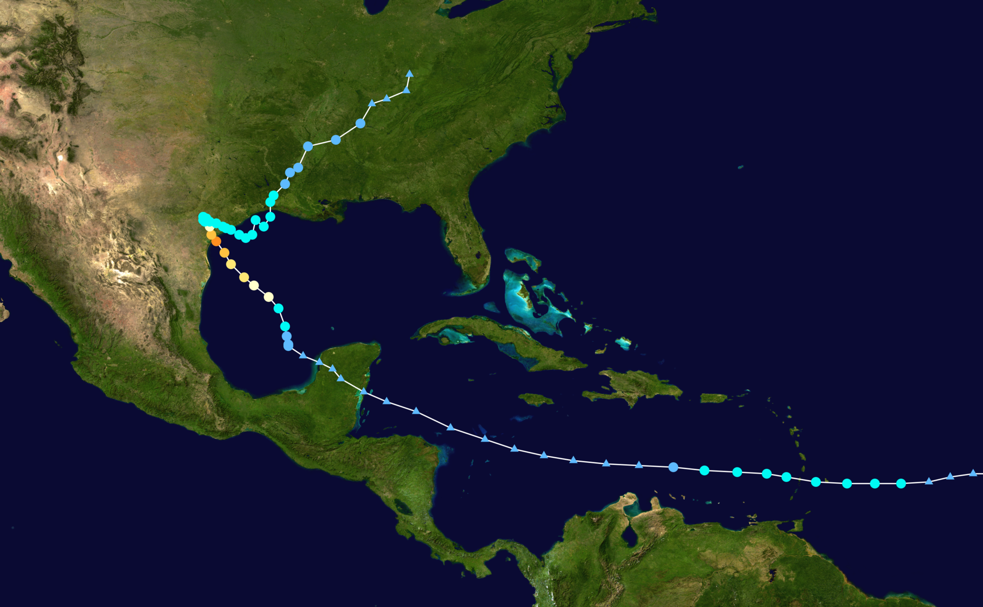
Enlarge / Which model did the best job of forecasting Harvey has a hurricane? The European model, of course. (credit: NOAA)
As a resident of Houston and a meteorologist, I closely tracked the development or Hurricane Harvey for much of the month of August. As part of that, I watched every new cycle of forecast model runs to determine which one handled the track forecast best.
For a long time, the big question with Harvey concerned what the storm would do after it moved inland into the central Texas coast late on Friday, August 25. Would it stall for one or two days and then move south? Would it stall for three or four days? Or would it slowly drift to the east-southeast, out into the Gulf of Mexico and then move up the coast?
Each of these particular solutions mattered for Texas, because whichever area lay to the northeast of the storm's center would receive the heaviest rains. Ultimately the rain bullseye fell along a corridor along Interstate 10 from Houston to Beaumont, where more than 45 inches of rain fell during a period of about four days that led to catastrophic flooding.
Read 8 remaining paragraphs | Comments