GPS tracked the land sink under the weight of Hurricane Harvey’s rain
Enlarge (credit: US Coast Guard / Flickr)
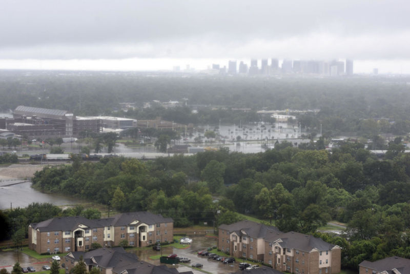
Shortly after Hurricane Harvey unleashed its flooding on Houston, we wrote about a remarkable observation shared by a scientist on Twitter: the weight of all that floodwater had measurably depressed the Earth's crust. This week, a more detailed study of that observation was published in the journal Science Advances.
A team of researchers led by Chris Milliner of NASA's Jet Propulsion Laboratory extended its analysis to the weeks after the hurricane and found that the network of sensitive GPS sensors could actually track the volume of floodwater as it receded.
While bedrock is commonly considered representative of concepts like "firm" and "unmovable," it has some compressibility when the forces are big enough. This "elastic" behavior explains how the land surface around Houston could sag slightly under the weight of Harvey's prodigious rainfall.
Read 8 remaining paragraphs | Comments