After billion-dollar disasters, here’s what the US’s fall weather has in store

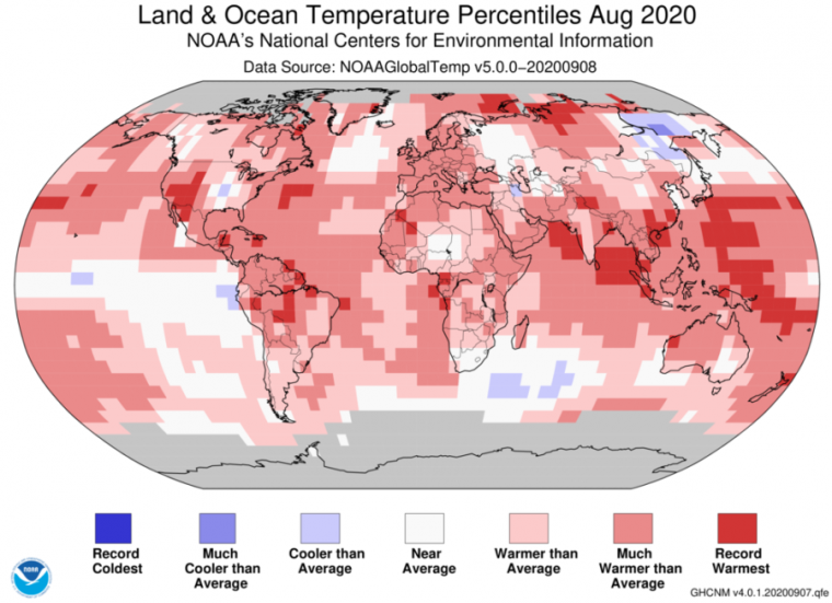
Enlarge / Hey, another warm month... (credit: NOAA)
We're reaching the end of summer in the Northern Hemisphere, and the weather in the US has been about as eventful as one expects for the year 2020. A highly active Atlantic hurricane season has lived up to expectations so far, while record-setting wildfires have blanketed the drought-beset West Coast, creating smoke that has drifted clear across the country.
NOAA's latest monthly summary shows how all this developed in August and what we have to look forward to in the next three months. Critically, La Nina conditions in the Pacific seem to have settled in, which has implications for winter patterns across North America and beyond.
Looking backGlobally, this was the second warmest August on record (going back to 1880) and the third warmest June-August stretch. Looking at the entire year through August, 2020 is the second warmest on record just behind 2016. With so little of the year left, it's very unlikely to drop in the rankings, and it still has a chance at the top spot. NOAA currently puts the odds of a new record at about 40 percent, while other estimates continue to be a bit higher. La Nina conditions will hold down the global average, so topping 2016 and its warm El Nino would be remarkable.
Read 13 remaining paragraphs | Comments