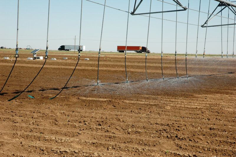
Projecting “peak water” and “peak grain” for the US High Plains

Enlarge (credit: Agrilife Today / Flickr)
Peak oil" is a familiar phrase that refers to the point when oil production ceases its steady upward climb and begins to decline. It has its roots in a mathematical curve proposed by geologist M. King Hubbert in the 1950s, which he applied to total US production.
That same curve has been used to describe the depletion of groundwater in regions where water is replenished much too slowly for heavy use to be sustainable. In the United States, that famously includes the Ogallala Aquifer beneath the croplands of the High Plains region.
Hubbert's curve is fairly simple, rising and falling symmetrically on either side of the peak. More specific forecasts of peak water" require a bit more sophistication. To capture that complexity while keeping things simple enough to easily generate a big-picture view, a new study led by Assaad Mrad at Duke University actually used some math that's similar to another familiar relationship: the predator-prey interactions of the food chain.
Read 12 remaining paragraphs | Comments